Tenderfoot Creek Experimental Forest

For a more indepth overview, see our TCEF Story Map.

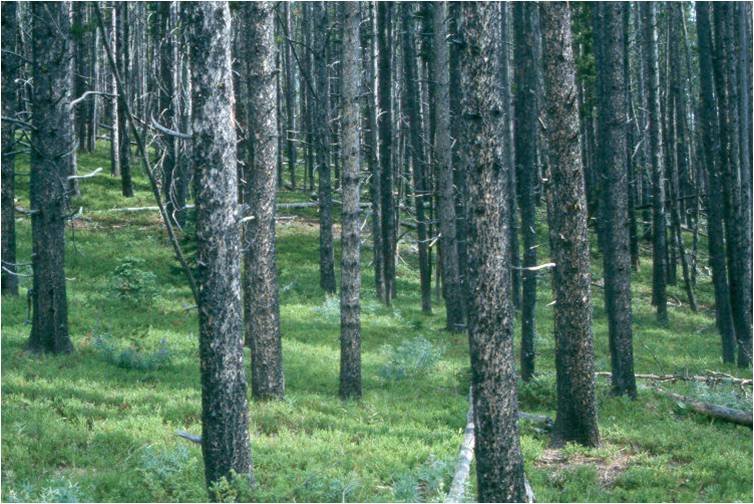
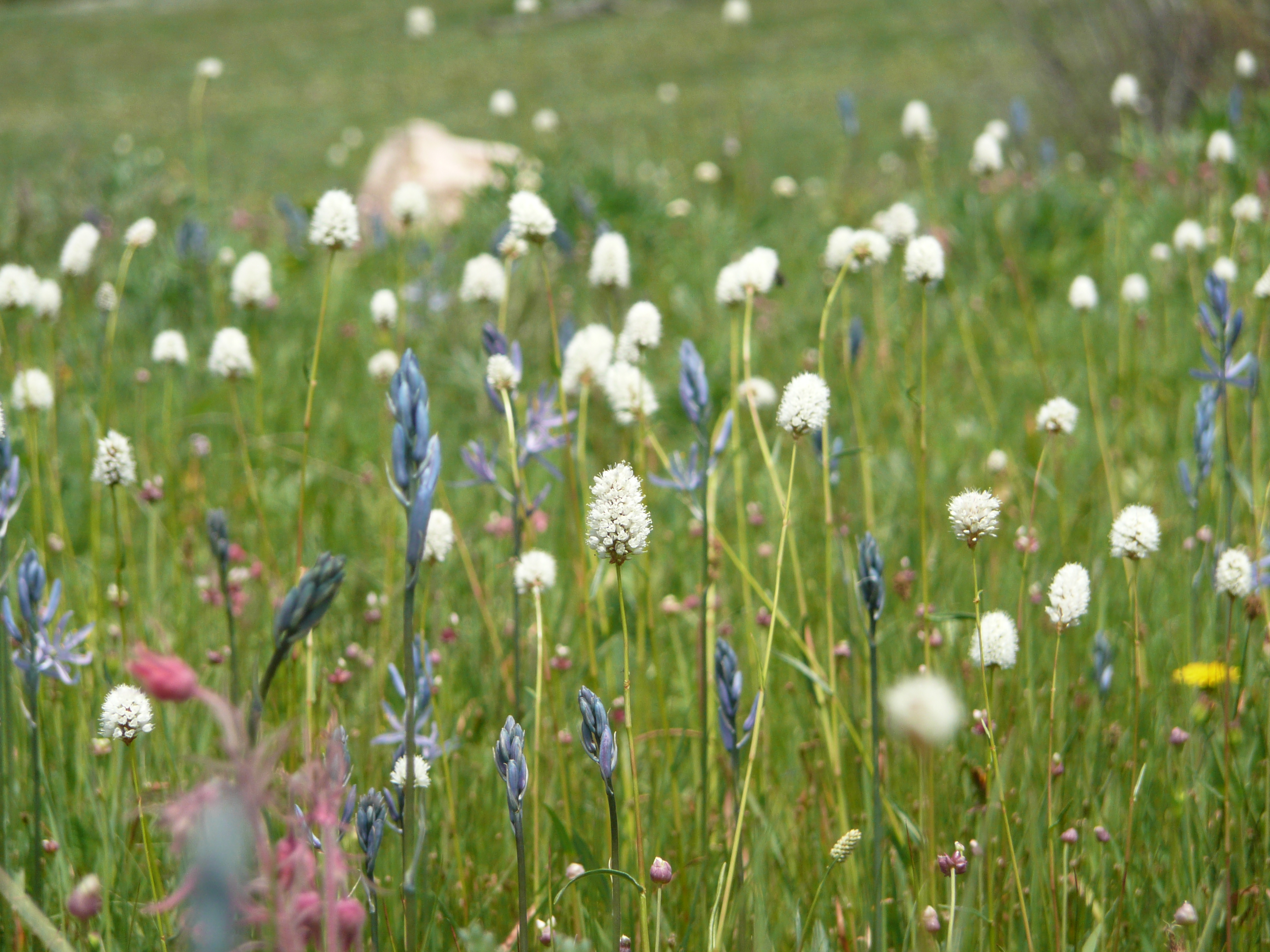
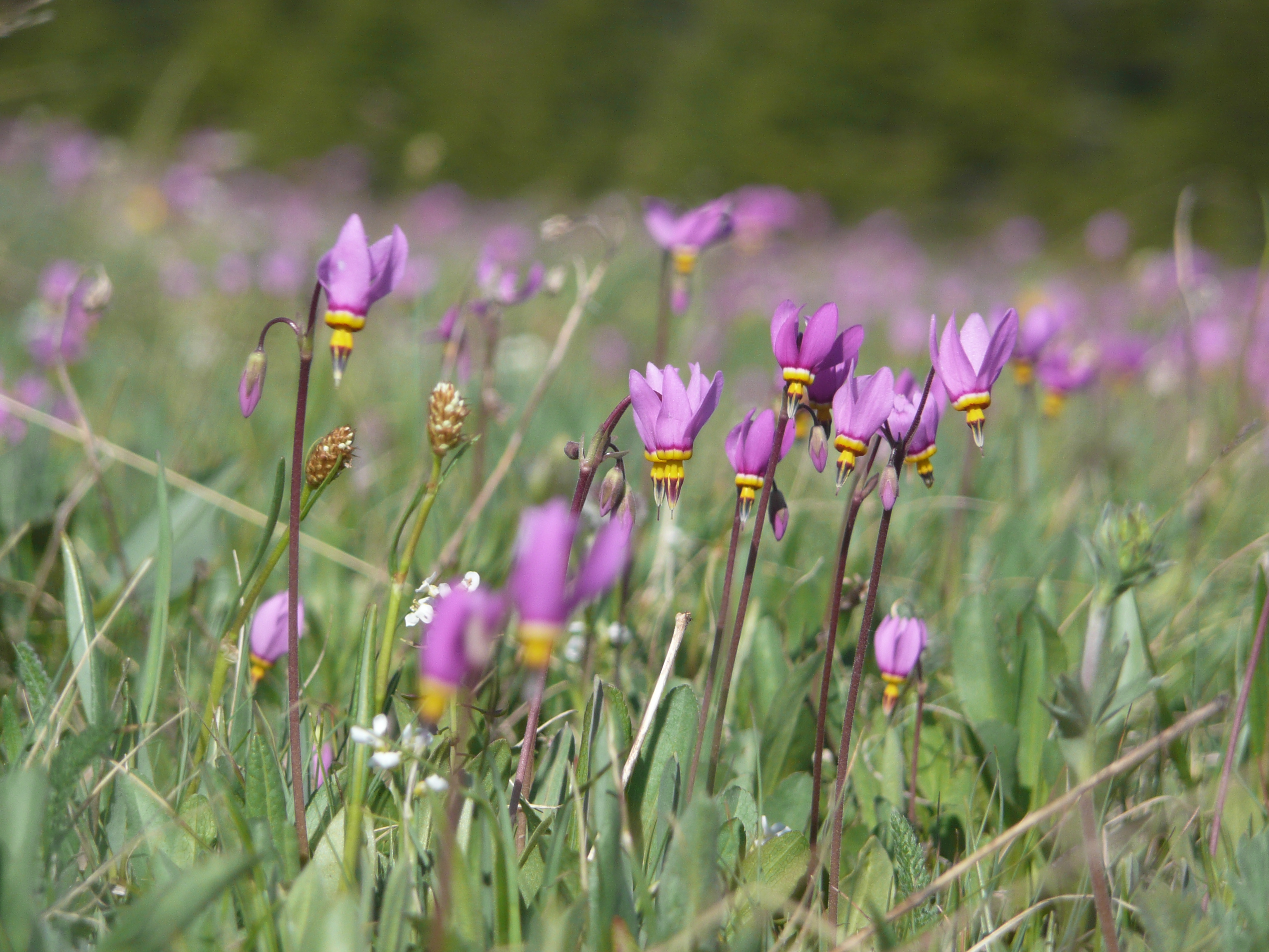
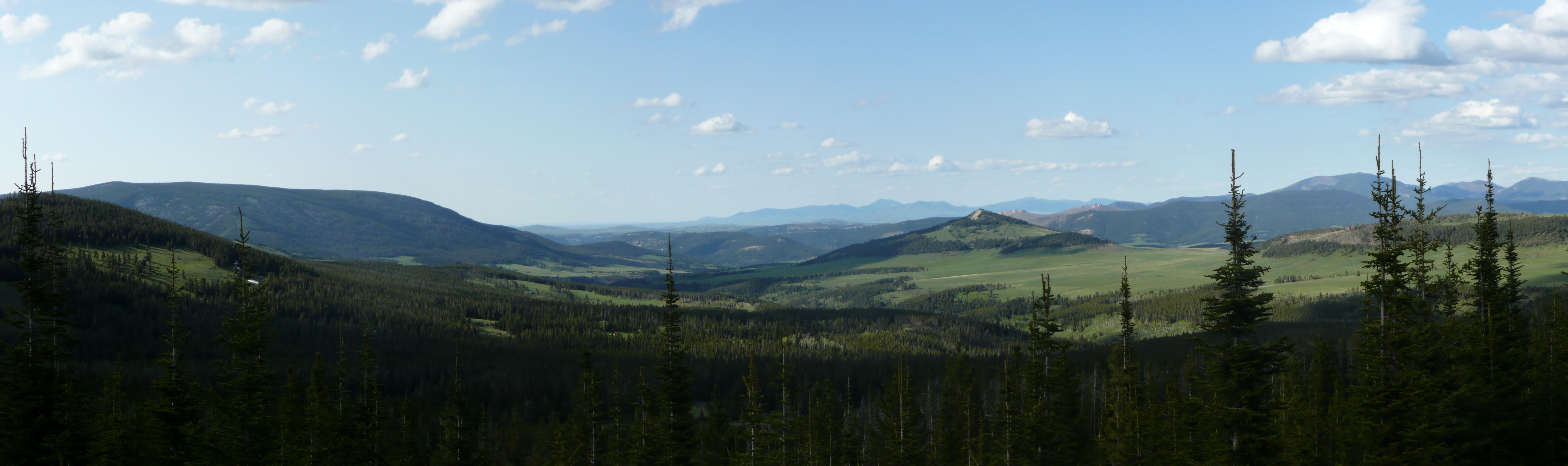
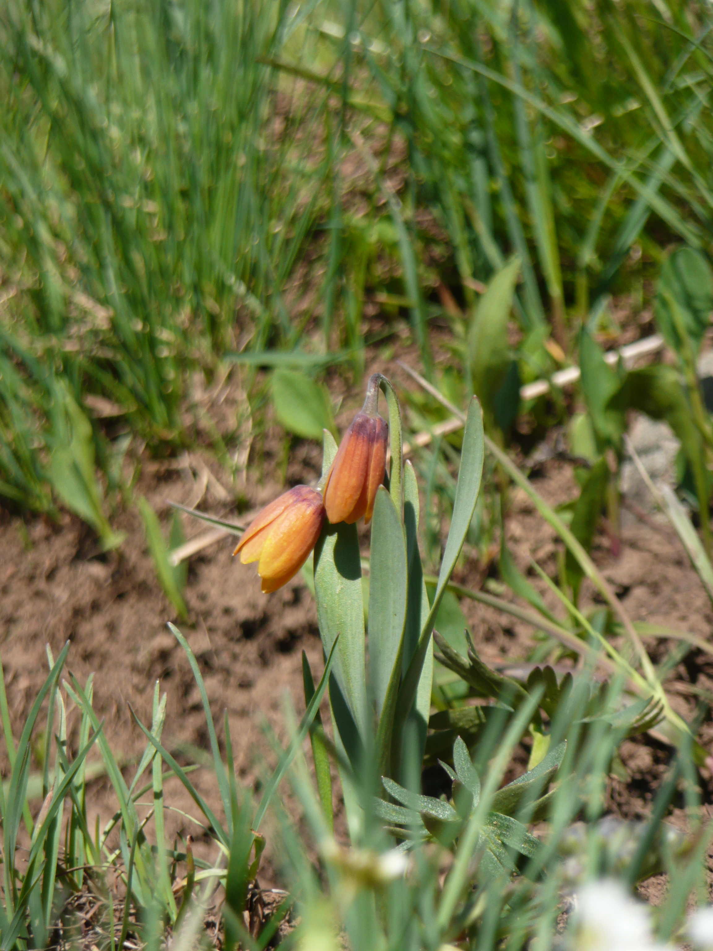
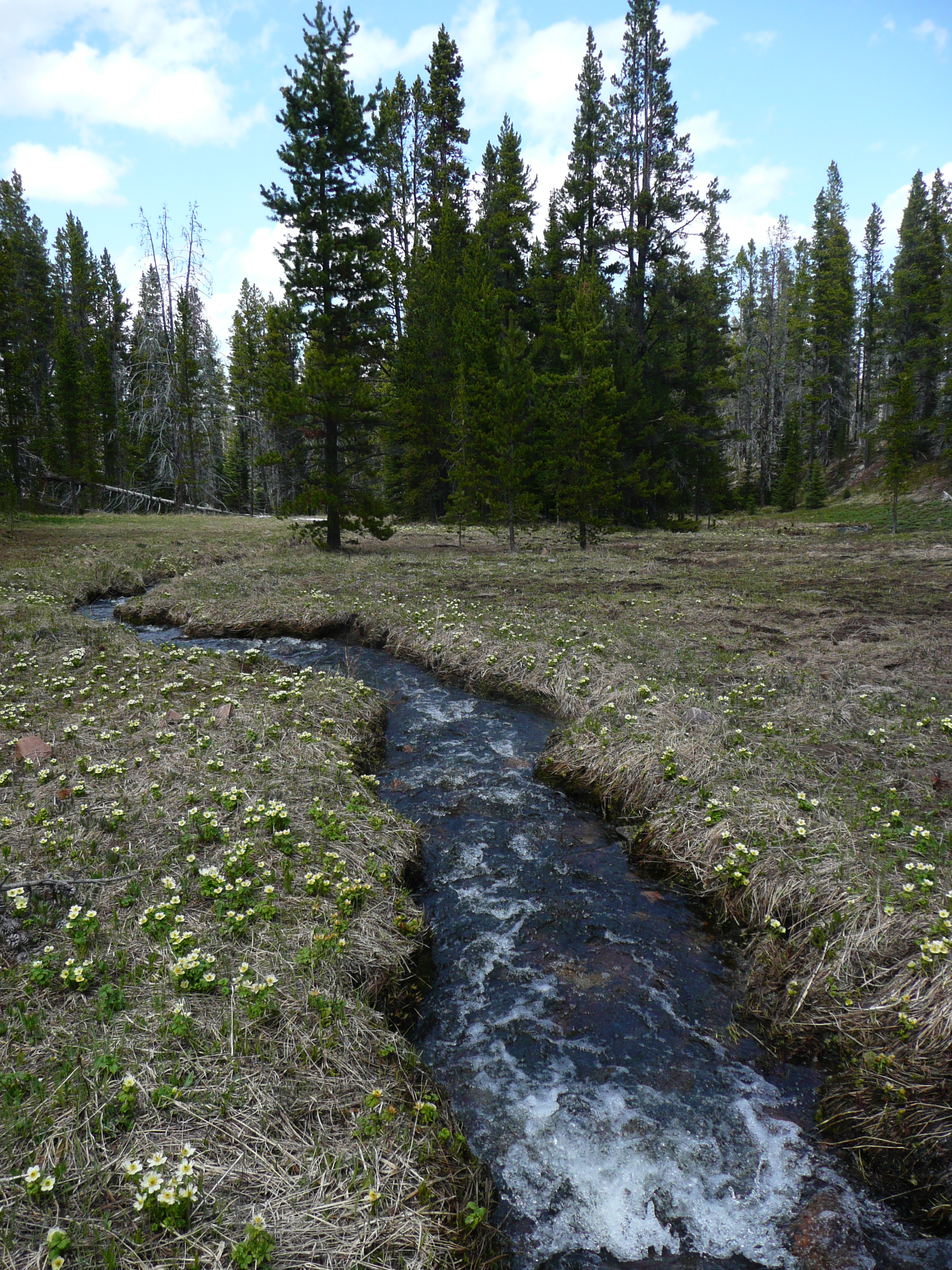
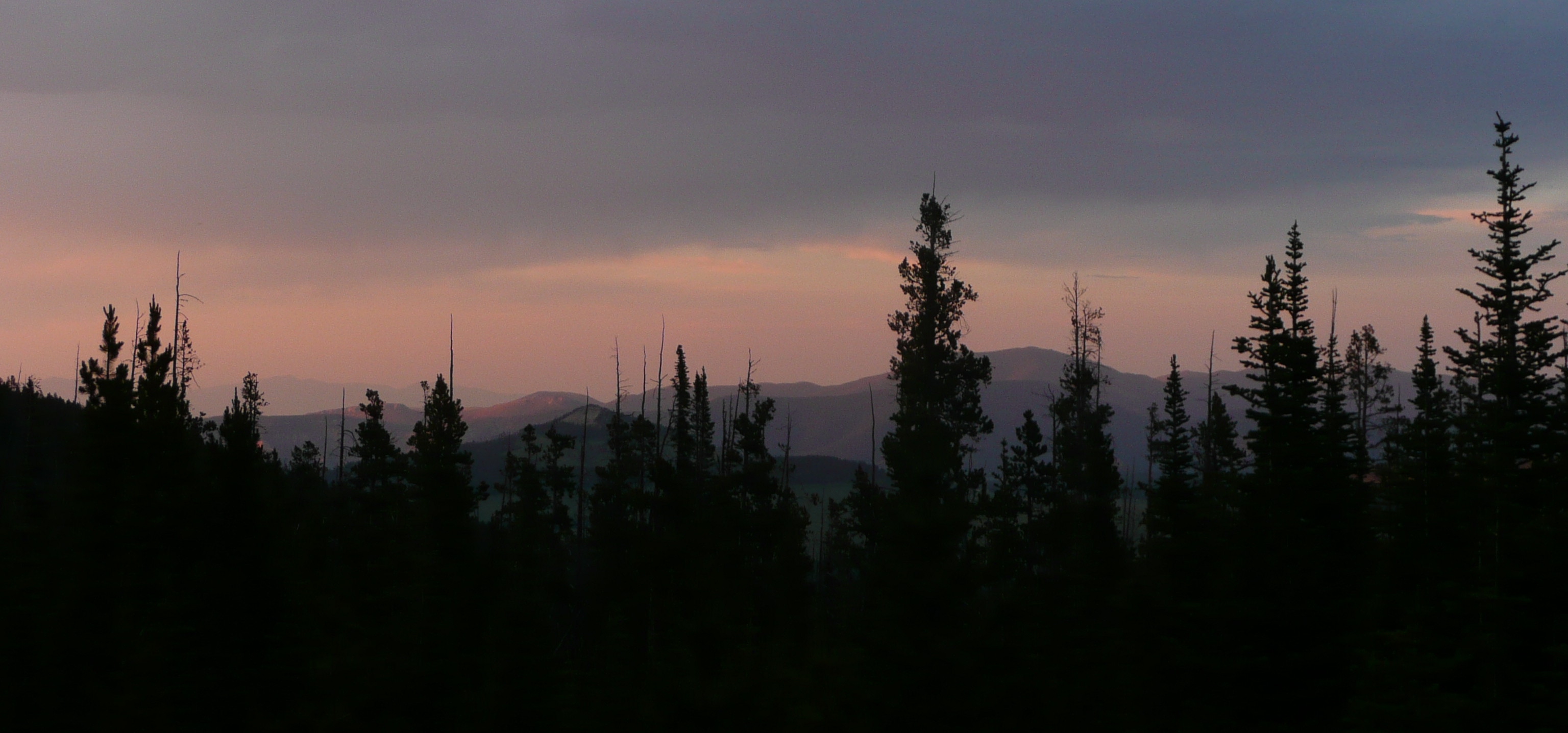
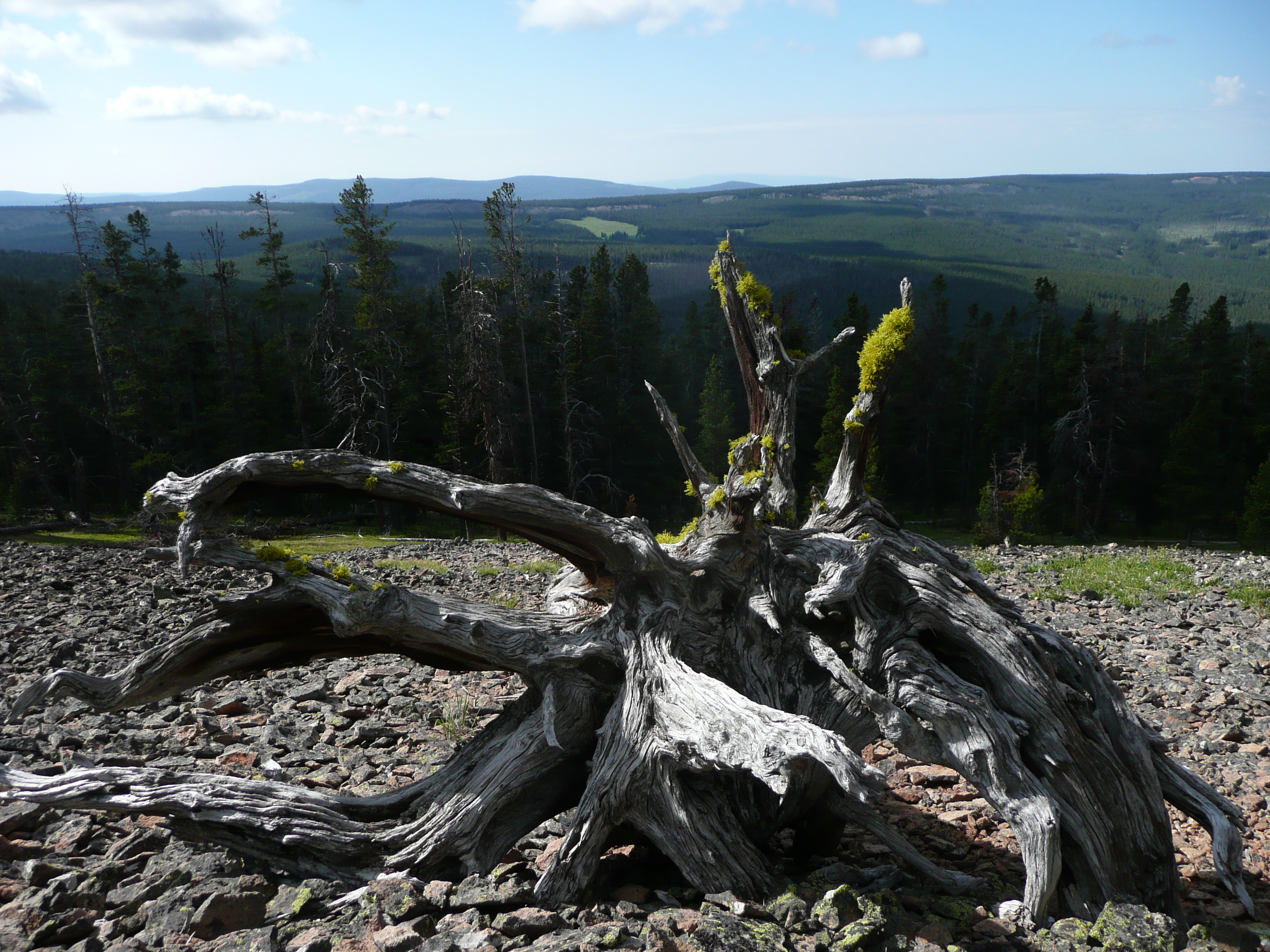
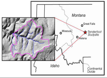
The Tenderfoot Creek Experimental Forest (TCEF) encompasses the headwaters of Tenderfoot Creek in the Little Belt mountains of central Montana.TCEF is uniquely suited to study lodgepole pine ecology and forest hydrology.

Image
Tenderfoot Creek Experimental Forest map

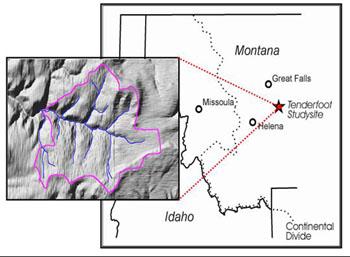
The Tenderfoot Creek Experimental Forest is managed by the USDA Rocky Mountain Research Station Fire, Fuel, and Smoke Science Program. TCEF was originally established in 1961 as a hydrologic research forest in representative lodgepole pine forests east of the continental divide. Baseline data such as timber inventory, soil information, fuel analysis and ecological habitat type descriptions were conducted prior to the late 1980’s.

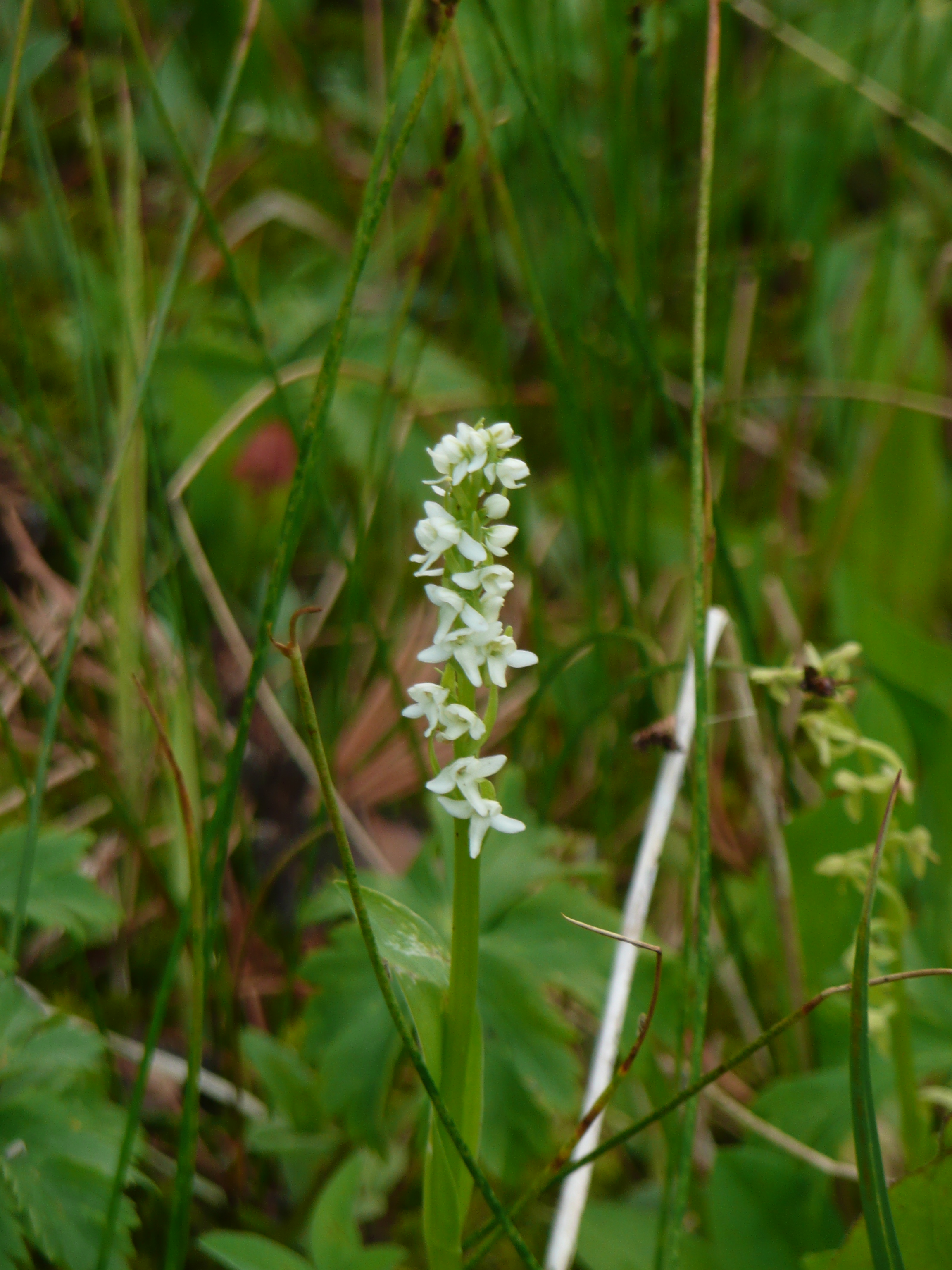
Research was expanded in the late 1980’s to include fire history, fisheries, vegetation composition, animal communities and other physical and biological factors as they relate to landscape-level management.

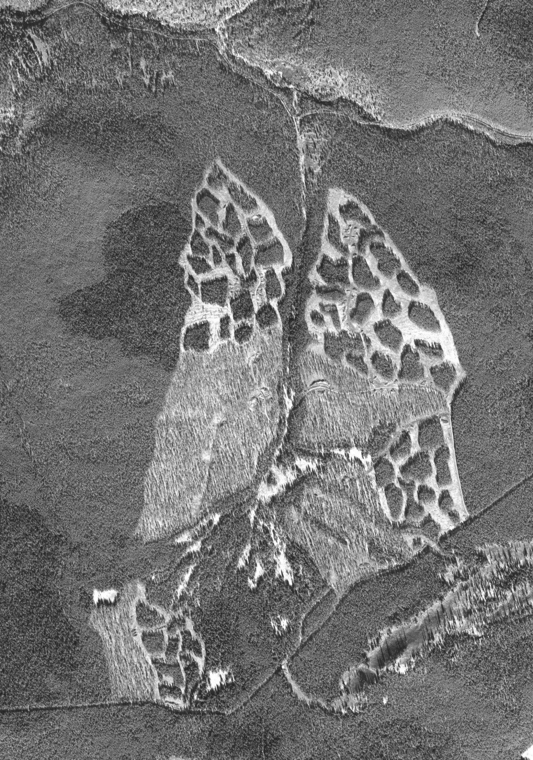
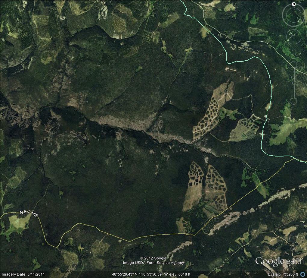
Between 1999 and 2003, multiple fire and silvicultural treatments were implemented at TCEF to evaluate the effects of restoration techniques designed to manage fuel loading and create two-aged stand structures in lodgepole pine forests.

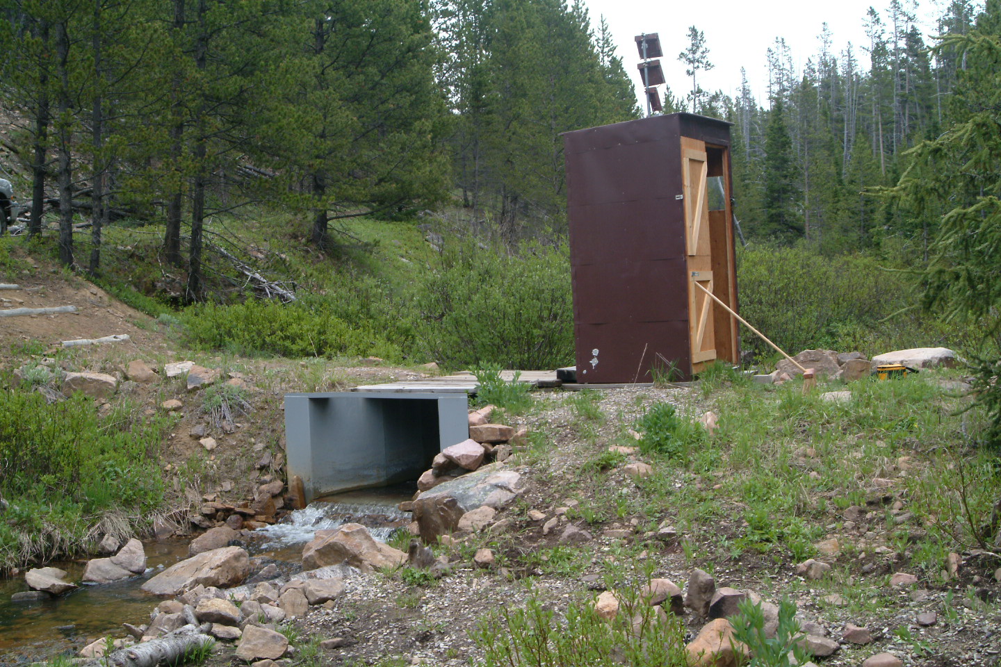
Long term hydrologic data collection began in 1992 and consists of stream flow, fluvial sediment transport, annual precipitation, snow pack, and water quality recorded at several sub-watersheds and on the main stem of the Tenderfoot Creek within the experimental forest.

Long-term hydrologic data coupled with extensive stand surveys make the Tenderfoot Creek Experimental Forest a valuable resource for researchers interested in lodgepole pine ecology and forest hydrology.

Fire, Fuel, and Smoke Science Program projects on the Tenderfoot include:

Extensive information and details are available on the main Tenderfoot Creek Experimental Forest web site.

Images

Parshall flume located on Tenderfoot Creek monitoring stream flow, fluvial sediment transport and stream conductivity.
(Credit: Lance Glasgow)
Aerial photo of experimental shelterwood harvests conducted in 1999 and 2000 in the Sun Creek sub-watershed of Tenderfoot Creek Experimental Forest.
Common lodgepole pine (Pinus contorta) stand with wortleberry (Vaccinium scoparium) understory found at the Tenderfoot Creek Experimental Forest.
(Credit: Lance Glasgow)
Bog orchid, Habenaria dilatata, ocassional found near stream banks and wet meadows such as Spring Park at the Tenderfoot Creek Experimental Forest.
(Credit: Lance Glasgow)
Prarie smoke (Geum triflorum), camas (Camassia quamash) and American bistort (Polygonum bistriodes) growing in the Sheep Creek drainage below the Tenderfoot Experimental Forest.
(Credit: Lance Glasgow)
Dodecatheon pulchellum, common spring flower found in many of Tenderfoot Creek Experimental Forest’s natural open meadows.
(Credit: Lance Glasgow)
View of the Belt Creek valley on the Lewis and Clark National Forest from the north side of Tenderfoot Creek Experimental Forest. Keegan Peak is visible in the background.
(Credit: Lance Glasgow)
Fritilaria pudica, common spring forb growing in Dry Park.
(Credit: Lance Glasgow)
Collecting streamflow data and setting up sediment collectors in March at the Spring Park Parshall flume.
(Credit: Lance Glasgow)
Spring photo of Upper Sun Creek.
(Credit: Lance Glasgow)
Overlooking Belt Creek drainage on a late summer evening from the northern edge of Tenderfoot Creek Experimental Forest.
(Credit: Lance Glasgow)
Designated as a Research Natural Area, Onion Parks sits at the headwaters of Tenderfoot Creek in the Little Belt mountains.
(Credit: Lance Glasgow)
Flowering Elephant Heads
(Credit: Lance Glasgow)
FFS Program Manager Colin Hardy removes debris from the Pack Creek flume at the Tenderfoot Creek Experimental Forest, Helena-Lewis and Clark National Forest, Montana. 2015
(Credit: Duncan Lutes)
Onion Park Research Natural Area, Tenderfoot Creek Experimental Forest, Helena-Lewis and Clark National Forest, Montana. 1998.
(Credit: Duncan Lutes)
Google Earth image of the Tenderfoot Creek Experimental Forest. Experimental shelterwood harvests are visible in the Spring Park sub-watershed (top right) and the Sun Creek sub-watershed (bottom right).
Looking south over the Tenderfoot Creek Experimental Forest.
(Credit: Lance Glasgow)
Residual snow drifts in June create challenges for accessing Tenderfoot Creek Experimental Forest. ATVs with snow track are often required.
(Credit: Lance Glasgow)
Tenderfoot Creek Experimental Forest map
Blackend Sedge: Carex atrata growing in the bottom of the Bubbling Creek sub-watershed of Tenderfoot Creek Experimental Forest.
(Credit: Lance Glasgow)
Monitoring streamflow in September on the Upper Sun Creek open channel gauging station, Tenderfoot Creek Experimental Forest.
(Credit: Lance Glasgow)
Great gray owl, a rare sighting at the Tenderfoot Creek Experimental Forest.
(Credit: Lance Glasgow)
Spring Park Creek

Select Publications & Products

Abrahamson, Ilana. 2012. An annotated bibliography of scientific literature on research and management activities conducted in Tenderfoot Creek Experimental Forest. Missoula, MT: U.S. Department of Agriculture, Forest Service, Rocky Mountain Research Station, Missoula Fire Sciences Laboratory. 54 p.